


Creating Custom Grid Maps of Indonesia

Creating Custom Grid Maps of Indonesia
A couple of weeks ago, I had the good fortune to lead a two-day data visualization workshop in Bali, Indonesia. It was an incredible trip—though admittedly too short given the travel time (more than 60 hours of flying for just two days of sightseeing!).

In the map section of my workshop, I usually show variations on the standard US choropleth map. My goal is to demonstrate the tension between the familiarity of maps and the accurate representation of data. For example, on a world map, Russia is a huge country (nearly double the size of Canada, the world’s second-largest country) making it look disproportionately important, but depending on the data you are showing, it may warrant that level of emphasis. To address this geographic distortion, I present other options alternative mapping approaches—cartograms, tile grid maps, hex grid maps, and more.
For this workshop, I wanted to make the examples more relevant to participants, nearly all of whom lived in Indonesia. So, I decided to recreate the alternative maps using Indonesia’s provincial geography. However, I quickly discovered there weren’t any existing hex or tile grid maps for Indonesia (at least in web searches in English). Even finding a complete GeoJSON file for the country’s 38 provinces was hard to find. Most publicly available files still list only 34 provinces, missing the four new provinces formed in 2022 when the Papua region (on the far eastern edge of the country) was subdivided.
In retrospect, I shouldn’t have found this particularly surprising, especially given the challenges in the Indonesia data journalism community that Utami Diah Kusumawati and Yearry Panji Setianto wrote about in last year’s Do No Harm Guide: Global Perspectives on Equity in Research and Data report. Utami was particularly helpful, reviewing a couple of drafts of the maps before I brought them overseas.
Building the Grid Maps
After getting a much better understanding of Indonesia geography, I set out to create both hex and tile grid maps. This involved a lot of sketching to determine the most effective layout. On the computer, I worked in both Excel and Flourish to create the templates and the GeoJSON files, mainly because I wanted to generate resources that would be most useful to people who could use them.

Tile Grid Map
I took two different approaches to creating the tile grid map in Excel.
Spreadsheet version. One version simply uses a grid layout and some VLOOKUP formulas to pull the data into the grid, and then using the conditional formatting menu to add the colors.
Scatterplot version. This version uses square-shaped markers in a scatterplot, sized enough to touch by not overlap.
Each method has its pros and cons, but I generally prefer the spreadsheet version in my own work. In Flourish, I used a small multiples Marimekko chart to create the tile grid map (where the data are 100% in each dimension). There is an existing challenge of label placement—I haven’t yet figured out how to place labels on top of the tiles instead of above them, which takes up additional space.


Hex Grid Map
The hex grid map requires a more manual process in Excel. I started by creating a hexagon shape in PowerPoint and exported it as an image. I then used that image as a custom marker in a scatterplot, adjusting positions to fix the hexagon layout. I experimented with sizing and finally settled on a 0.5”x0.5” shape. To color the hexagons, I created a different image for each color. This approach is not particularly efficient for more categories, so I used quartiles.
To build the hex grid map in Flourish, I needed to build a GeoJSON file. I used Python to extract coordinates from an existing image and then edited the layout with GeoJSON.io. In Flourish, once the GeoJSON is loaded, you can map the data by province name or abbreviation to build the visualization.


Sharing the Files
I am sharing all of these materials—including the Excel templates for both grid maps and the GeoJSON file for the hex map—in this Github repository. I hope these resources are especially useful for people working in Indonesia and Southeast Asia. While grid maps aren’t suitable for every country or every dataset, this approach is replicable and adaptable for other regions around the world.
If you need help creating your own grid maps, try following the steps laid out above or reach out to me directly.

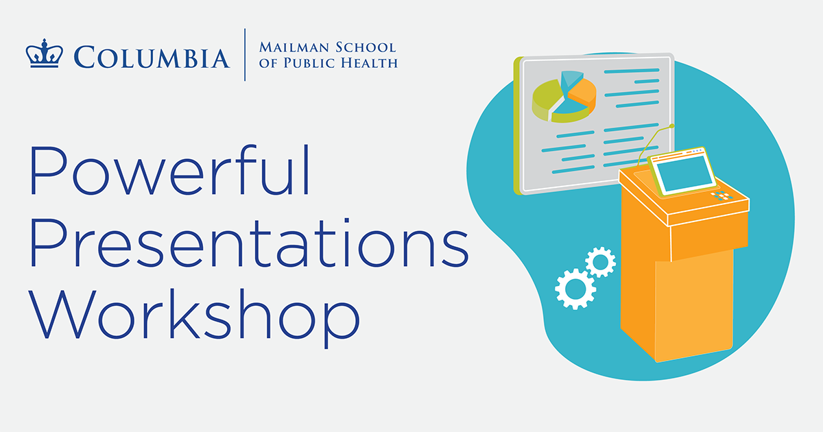
Join me on July 28-29 for a two-day intensive (virtual) workshop of lecture and hands-on work to provide an overview of concepts, techniques, and methods used to create effective, memorable presentations. I’ll take you through the entire process of designing, building, and delivering great, effective presentations to your stakeholders.

Podcast: Shirley Wu on Data, Art, and Innovation in Visualization
It’s the Season #11 Finale! I’m ready for a summer break and am super excited to close the season talking with Shirly Wu—data visualization artist, technologist, and community thought leader. We talk about Shirley’s journey from creating vibrant, web-based data visualizations to developing physical, multi-sensory data art. Shirley shares what she learned during her recent graduate studies in art and technology, her reflections on data, emotion, and the role of art, and the ideas behind her widely discussed blog series on the state of innovation in the data visualization field.

Things I’m Reading
Books, Blog Posts, and Papers
Power to the Public: The Promise of Public Interest Technology, by Tara Dawson McGuinness and Hana Schank
Just Action: How to Challenge Segregation Enacted under The Color of Law, by Richard and Leah Rothstein
TV, Movies, and Music
Stick, AppleTV
I think it’s going to be a feel-good show, but it’s taking a bit to get there.
Andor, Disney+
Yes, please.
